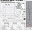
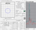
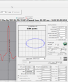
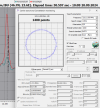
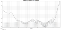
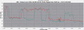
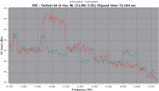
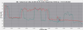
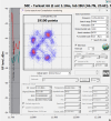
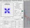
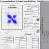
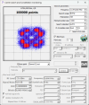
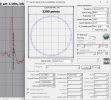
Hi Satesco, my spectrum looks similar, but with weaker peaks. No locks.
@Marcus_21 analyses the in-orbit testing so thoroughly, I hardly bother any more!
The STK (Systems Tool Kit) software that I use to produce these historical satellite position graphs is many years old, with a free license that should continue to work as long as this PC it is installed on doesn't die!
Unfortunately, nowadays free licenses do not exist any more, and they are unaffordable.
As alternative, the Celestrak site can also show historical TLE-based longitude charts, but it's rudimentary, and after asking him it can not be improved.
I'd like to hear if any other software or site exists, that can load historical TLE's, and create graphics from them.

