Hello Dušan,
Have a look at the Attachment EngineeringStatement, page 14, where the table shows that the Ku-band User Beam Downlinks use the GXT file KUHD (for horizontal) and KUVD (for vertical).
These are the files "Attachment Schedule S GXT 20" (for KUHD) and 21 (for KUVD). This can be checked in notepad (see beam_id). KUHD and KUVD spot shapes are identical, by the way.
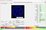
If you save such a file with the extension .gxt, it can be imported in GIMS. (I saw in your Telkom 3S screenshot, you have GIMS installed already!)
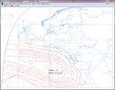
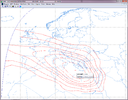
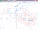
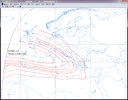
You will first see the spot centered at 60°E, 0°N, that is without the offset required to have another spot beam.
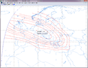
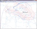
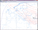
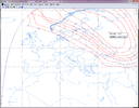
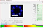
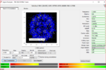
Then under menu Capture, Squint Beam, play with the Azimuth and Elevation offsets values, until you get the correct boresight Longitude/Latitude values, as listed in page 12 & 13 of EngineeringStatement.
This is very time consuming! I spent a few hours to get the 8 spots that I showed in my previous reply.
It should be possible to enter Longitude/Latitude directly, instead of Azimuth/Elevation offsets as seen from satellite, but I didn't find that!
Hope this anwers your question.


